
What is Rapid Editor?
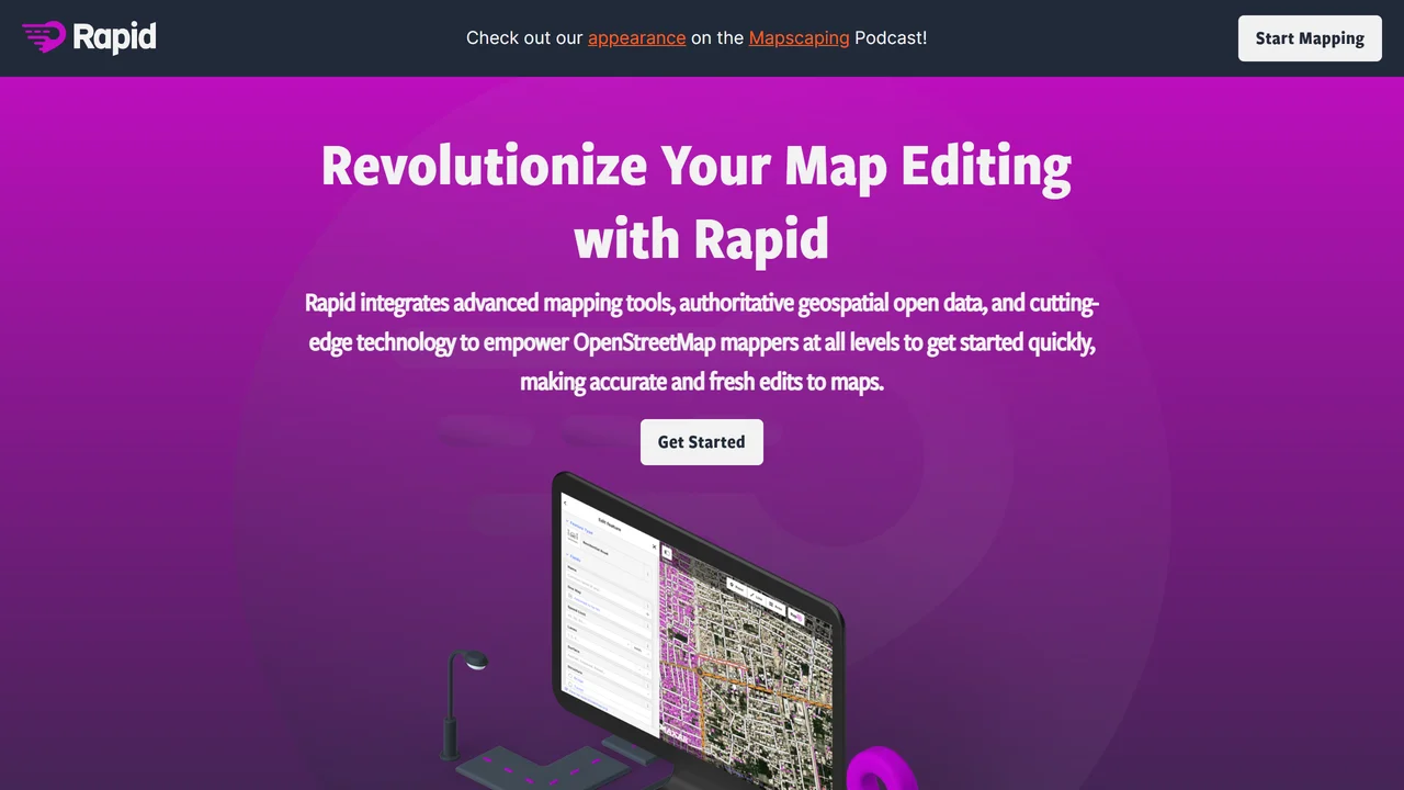
Rapid Editor is a powerful tool designed for quickly adding and editing geographic features on OpenStreetMap using artificial intelligence. It leverages satellite imagery and AI predictions to generate a magenta overlay of features such as buildings, roads, and waterways, which users can then validate and refine. This significantly accelerates the mapping process, making it ideal for disaster response, urban planning, and humanitarian projects where up-to-date maps are critical.
Key features include an intuitive interface that displays AI-predicted features as a semi-transparent overlay on satellite imagery. Users can easily accept, reject, or modify these predictions with simple clicks. The tool supports various editing actions like adding, moving, rotating, and deleting features, ensuring high accuracy. It also integrates seamlessly with the OpenStreetMap ecosystem, allowing direct upload of validated data.
Benefits include dramatic time savings—mapping tasks that once took hours can now be completed in minutes. The AI predictions provide a strong starting point, reducing manual tracing effort. This is especially valuable in areas with limited existing map data, enabling rapid creation of detailed maps for navigation, logistics, and resource allocation.
Use cases span from humanitarian aid organizations needing quick maps after natural disasters, to local governments updating infrastructure, to researchers analyzing urban growth. Technical details: Rapid Editor runs in a web browser, requiring no installation. It uses machine learning models trained on diverse satellite imagery to detect features with high precision. The tool supports multiple data sources and allows customization of detection parameters. Output is in OpenStreetMap-compatible formats, ensuring interoperability.
Overall, Rapid Editor democratizes map creation by combining AI efficiency with human validation, making it accessible to both novice and expert mappers. Its speed and accuracy make it an essential tool for anyone needing to rapidly generate or update geographic data.
Use Cases
Key Features
AI predicted feature overlay satellite imagery integration one click accept/reject add/move/rotate/delete direct OSM upload rapid mapping intuitive interface high accuracy validationWho is it for?
disaster response teams, urban planners, humanitarian mappers, OpenStreetMap contributors, GIS analysts, field surveyors
Similar Tools


Details

TensorDock is a cloud GPU platform designed to provide affordable, high-performance virtual machines...
Freemium
Details

Sesterce Cloud provides high-performance GPU rental services, offering instant deployment of on-dema...
Freemium
Details

FluidStack is a pioneering infrastructure company dedicated to accelerating the deployment of AI com...
Freemium
Details

Seedream 4.5 is a cutting-edge AI-powered seed analysis and prediction platform designed for agricul...
Subscription
