
What is Satlas?
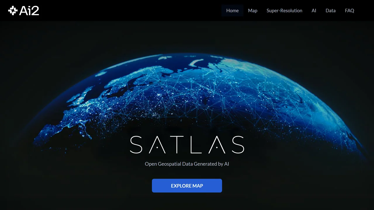
Satlas, developed by the Allen Institute for AI, leverages state-of-the-art machine learning to automatically interpret satellite imagery at scale. The platform processes petabytes of public satellite data to create structured datasets of objects such as wind turbines, solar farms, construction sites, and shipping vessels. Users can interact with a web-based map interface to view detected changes over time, filter by confidence scores, and download results for further analysis. Satlas aims to democratize geospatial intelligence, making it accessible for environmental monitoring, urban planning, disaster response, and research. The models are trained on diverse global imagery and are continuously improved. Currently, Satlas offers free public access to its data and tools, with API access planned for future releases.
Use Cases
Key Features
AI-driven object detection from satellite imagery Global map with change detection over time Identification of renewable energy infrastructure Deforestation and urban growth tracking Downloadable datasets and tiles Free public access to processed dataWho is it for?
Environmental researchers, urban planners, disaster response teams, and geospatial analysts.
Similar Tools


Details

Paper Banana is an AI-powered academic illustration generator that automates the creation of publica...
Subscription
Details

Make Infographic AI is a free online tool that transforms text, notes, or data into stunning infogra...
Free trial
Details

ConceptViz is an AI-powered tool that transforms complex concepts into clear, science-ready diagrams...
freemium
Details

Google Earth AI harnesses advanced machine learning to analyze satellite imagery and geospatial data...
free
